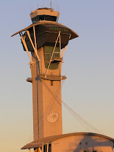
I first threw this up last month, right after the hottest day of the year. After running across a bunch more photos, I decided to pull it for additions and revisions. Then I got involved with preparations for two shows at the theater, another Conerstone class for Habitat, did some painting and yard work around the house, and along the way managed to hurt my back. All of which conspired to a lack of blog writing for most of last month. Especially the back injury, since it seems that one of the worst things for a sore back is to sit and work at a computer.
We're now well into autumn, so this topic is now just a wee bit tardy. But since I had previously posted this before withdrawing it for revisions, I'm going to go ahead and cover it anyway. Coastal California is famous for its marine layer fog and low clouds. This is usually a late spring or early summer phenomenon. We sometimes refer to it as "June gloom", but this year it was a summer-long experience. I know people who live in Santa Monica and Redondo Beach were complaining that it was a cold and gray summer, and since there were weeks when they never saw the sky, I can't blame them. However, since I rarely had occasion to run the air conditioning in the house, I'm not complaining.
So what is a marine layer? Simply put, a marine layer is a mass of cool, moist air on the surface that is trapped beneath a mass of warmer air above. How does this happen? A temperature inversion holds the cool air down. Those among you who have gone into the mountains have probably noticed that normally the air gets cooler as you go up. A temperature inversion reverses that. The air temperature warms with height, which creates a very stable layer of warm air. This layer of warm air acts like a ceiling, keeping the surface air below from moving any higher.


In this plot of the annual average Mean Sea Level Pressure (MSLP), the area of strong average low pressure (in dark orange) centered on the Gulf of Alaska is known as the Aleutian Low. The area of strong average high pressure (in deep blue) that extends across the central North Pacific is the Pacific High.
A stronger temperature inversion or cooler ocean can increase the marine layer's intensity and staying power, sometimes to the point that solar heating is not sufficient to dissipate the layer of fog or low cloud. Heat is what it takes to fight the marine layer; after sunrise the stratus layer rises and then burns off, starting inland and moving towards the coast as the day progresses. For much of this past summer, though, the fog and cloud would burn off only to about the 405 freeway, which passes less than a mile from the airport's east boundary. I can recall many times when I would be coming into work under a clear blue sky - until I got to the 105/405 interchange, whereupon the sky disappeared as I drove under a blanket of gray.
Lest I give the impression that the airport is always dominated by fog and low cloud, I should say that there are times when the fog gets no further than the dunes at the west end of the airport.
This is how it starts:
 The setting sun highlights the top of the fog building offshore
 It's not often that we get to see the fog form this far offshore
 That's not the waters of Santa Monica Bay you see beyond the dunes, it's a wall of fog.
 These closer views show the wall of fog on the other side of the dunes. Underneath, it's probably pretty chilly on the beach right now.


 The fog has pushed over the dunes and started to move on shore. Sometimes (when we're lucky) this is about as far as it gets.
 As it gets closer to the tower, the top of the fog layer obscures more of the sky.


 When the beginning edge stays close to the shore, we can still see most of our departures climbing over the fog bank.
A Southwest B737 departs from runway 24 left and skims the top of the fog as it pushes over the dunes
 Meanwhile, looking out the other direction, everything's beautiful.
 Here's the same United B757 after landing.


 Sometimes the airport remains clear, but El Segundo, Manhattan Beach, and Redondo Beach are covered by a blanket of fog. Other times, it's Santa Monica that's hidden:

 Here we see the departures against a backdrop of fog over El Segundo.
In this sequence, a British Airways B744 disappears after takeoff from runway 25 right and then reappears above the fog layer.
Once it surmounts the dunes, the fog may continue inexorably across the airport:


 Looking to the west, about to lose the sun
The movement of the fog combined with the airport's east-west layout sometimes creates odd scenarios such as arriving aircraft being able to see the approach end of the runways while they're invisible to the tower. Because the north and south runway complexes are staggered, there are even times when the arrivals can see the runways on the south side (the 25's) but not the 24's on the north side. Fog covering the west end of the airport is more a factor for separating departures than arrivals, and it can be galling to the tower controllers to be unable to use visual separation with departing aircraft while approach is happily visualing in their arrivals. Everything said in this paragraph assumes that the airport is west traffic, which is the case probably 95-percent of the time. Weather conditions that force us to go east (namely a strong offshore wind) are not conducive to formation of a marine layer.
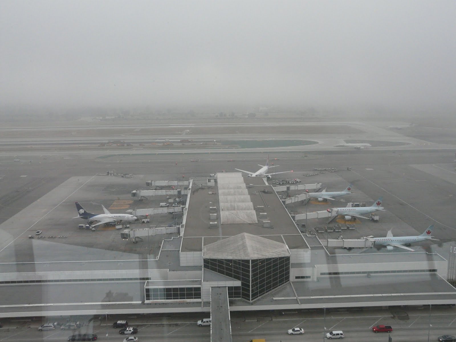


 I caught this tunnel effect a few weeks ago. That's the top of the Theme Building in the foreground, recently bereft of its shell of scaffolding after a three-year renovation.
 At times, there's hardly anything to see out the windows except the camera mounted on the catwalk.
The high humidity does occasionally create some interesting photos:


More about the Autumnal Equinox and Harvest Moon:
National Geographic
Mother Nature
More about the hottest day in LA:
LA Times Record Heat story
LA Times Hottest Day story
More about the Pacific High and marine layers:
NOAA Monterey Bay
NOAA North Pacific
Scripps Institute of Oceanography
Wikipedia